Moab / Arches one day, mesa country another
Two park days.
Not one endless loop.
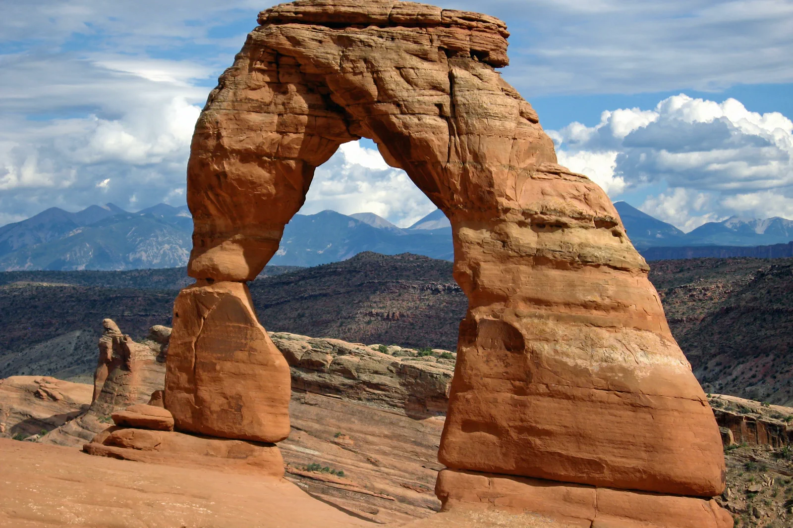
Arches and Island in the Sky share a useful Moab base, not a single internal road. Give each a main purpose and let the return remain part of the day.
Choose the landscape before choosing the trail
NPS: Arches 2026 entry policy and planning
NPS: Island in the Sky visitor information
NPS: separate Canyonlands district approaches
A short Moab stay can give one usable day to each of the first two choices. If there is only one full day, select the landscape that interests you most rather than spending it in two entrance queues and several transfers. The base is useful because it organizes separate days, not because it makes them one attraction.
Viewpoints and a longer arch hike are different commitments
Arches states that advance timed-entry reservations are not required in 2026. Check the policy again for the actual year, and keep park admission and any specific activity requirements separate. An open entry system does not promise immediate parking at every stop.
NPS: Arches 2026 entry policy and planning
Visitor information → a selected road sequence
Use the current map and conditions to choose the day’s main interest. A shorter visit can emphasize a few viewpoints rather than trying to drive and walk every branch.
Balanced Rock or the Windows area
Choose a suitable current viewing or short-walk option and give the formations time. Read the exact path description rather than treating every nearby trail as equally easy or accessible.
Delicate Arch · Viewpoint or the separate hike
The viewpoint visit and the trail to the arch are different routes. Choose which experience you actually want before arriving at a parking area. Seeing the arch from farther away can be an appropriate complete choice, not a failed version of the longer hike.
Return before adding another major trail
Take food and rest, then decide whether a final small stop fits. A longer hike should replace other walking, not be appended after the group has already spent the day in exposed conditions.
NPS: Arches viewpoints and shorter visits
NPS: specific Arches accessibility information
This is an editorial selection, not a surveyed hiking guide. Specific surfaces, slopes and conditions matter more than the short label on a map. Use NPS accessibility information for the actual viewpoint when that is central to the visit.
Stay with the paved-road Island in the Sky visit you chose
Use the Island in the Sky visitor information and current map to select a limited mesa-top route. A broad viewpoint and a particular walking trail have different requirements, so decide what the group wants before adding distance. The canyon below is part of the view, not a suggestion to drive down every road visible from the rim.
NPS: Island in the Sky visitor information
Moab → US 191 → UT 313
Use the paved approach described by NPS for Island in the Sky, rather than another Canyonlands district or a backcountry road suggested as a shortcut. Check current access and facilities before continuing beyond the reliable services near the base.
Grand View Point or Green River Overlook
Choose a broad overlook from the current park map and give the canyon’s scale and layers time to become visible. Stay within permitted viewing space and use the interpretation to understand the landforms rather than approaching an edge for a more dramatic image.
Add a selected short trail only when it fits
Assess the current route description, surface and exposure. A popular photograph such as a mesa-edge arch does not establish suitability for every visitor or every hour. A viewpoint-only day is a legitimate plan.
Return to Moab or the confirmed next base
Keep the full road journey, a meal and rest in the schedule. Do not attach another distant park district after the main mesa visit simply because the map uses the same national-park name.
The chosen stops are an editorial framework. Confirm the exact current open routes and adapt to the day. A shorter visit can spend more attention on one overlook instead of accumulating several similar photographs with a rushed return.
Dead Horse Point and backcountry roads need separate decisions
Dead Horse Point is a Utah state park with its own visitor information and admission arrangements. Check those terms directly rather than assuming a federal national-park payment covers every nearby public-land destination. It can be a chosen viewpoint addition when time and conditions work, not a mandatory extra after every Canyonlands visit.
Utah State Parks: Dead Horse Point access and admission
Canyonlands’ backcountry driving information distinguishes those roads from a paved-road visit. Vehicle capability, access and any permit requirements must be assessed for the specific route. A rental car and a navigation line are not a sufficient plan for a road descending off the mesa.
NPS: paved and backcountry driving distinctions
If the group wants a more ambitious hike or drive, give it a separate prepared day and the appropriate guidance. This introductory Moab plan remains with selected public viewpoints and suitable walks. Its purpose is to make the first park days coherent, not to turn a scenic stop into an expedition.
Keep the return flexible for heat, weather or a full parking area. When an intended stop does not work, shorten the day or use another verified appropriate place rather than improvising access across fragile ground. A useful Moab stay allows enough time for two different landscapes without needing to complete every possible activity.
Choose the next park deliberately
Can I drive directly from Island in the Sky to the Needles inside Canyonlands?
No. NPS describes separate district approaches without internal connecting roads. Plan another district as its own journey.
Does the Delicate Arch viewpoint mean the same hike as reaching the arch?
No. They are different routes and experiences. Choose the exact one that fits the group and current conditions.
Choose another Utah park day
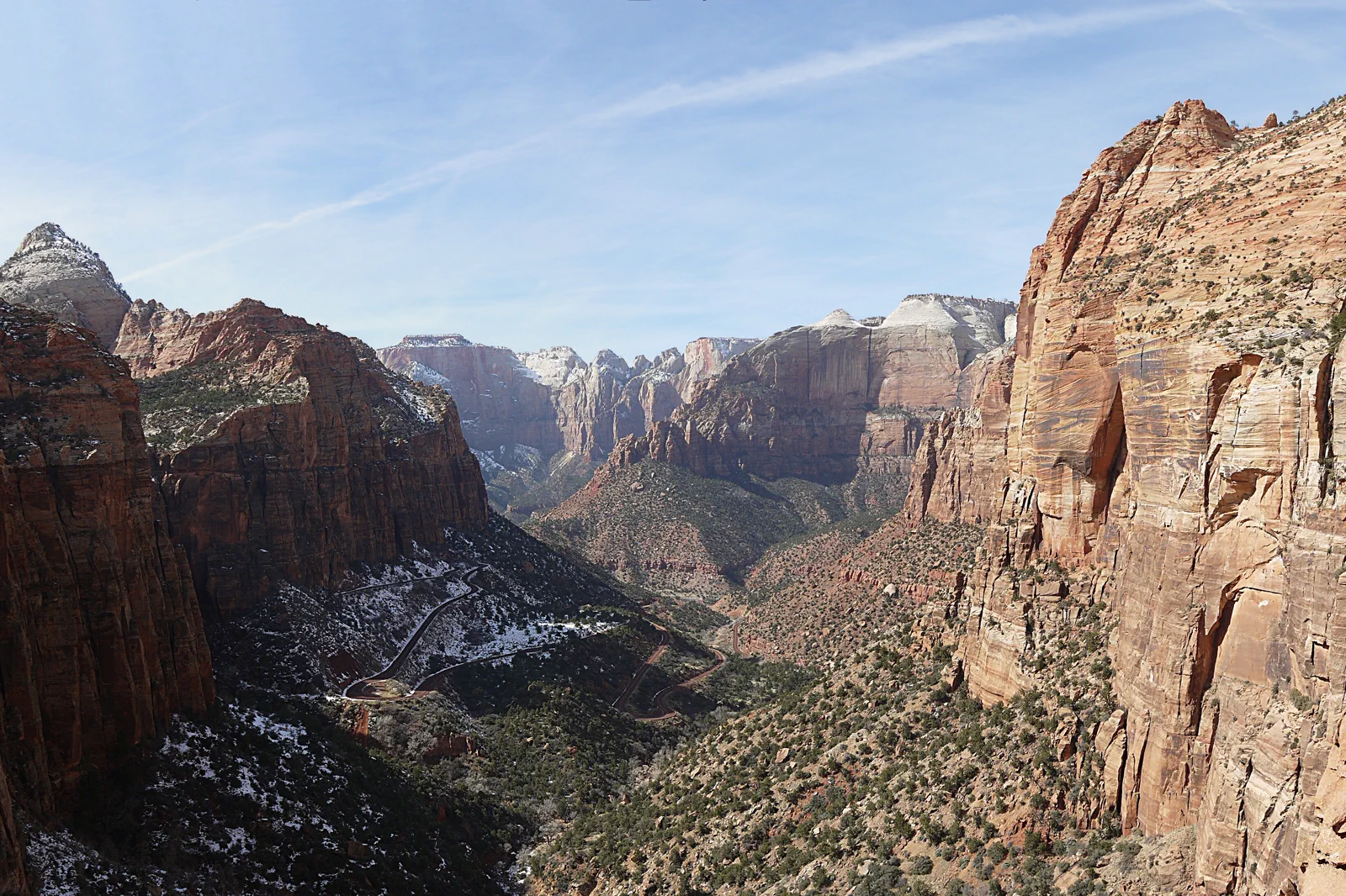
Zion Canyon
Zion’s main canyon uses transport and trail rules that depend on season and route. A riverside introduction is different from a permit-controlled hike, and neither should be chosen solely because an online itinerary calls it essential.
Open guide →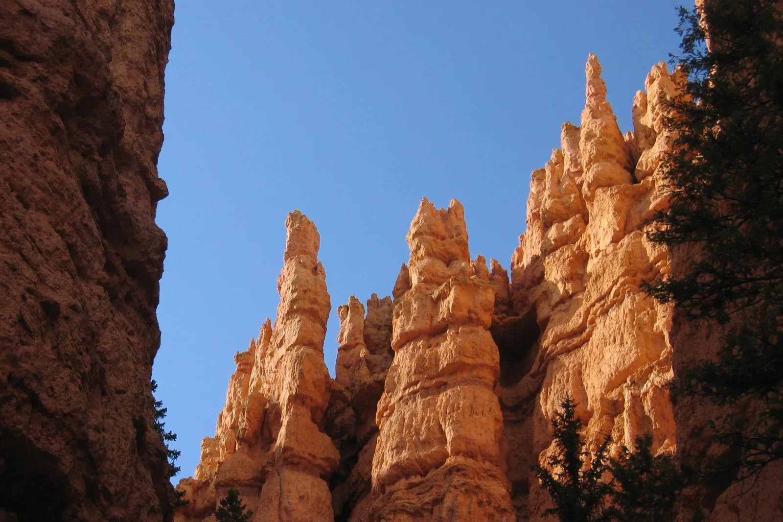
Bryce Canyon
Bryce’s high rim can be cold and windy while descents require a climb back out. Viewpoints provide a complete introduction, and a short trail should be selected according to current ice, heat and personal ability.
Open guide →References, review and image credits
Source information checked on 11 September 2026. Route order, comparisons and suggested pacing are TripDistill editorial judgments; they are not official operator itineraries.
- NPS: Arches 2026 entry policy and planning
- NPS: Arches viewpoints and shorter visits
- NPS: specific Arches accessibility information
- NPS: Island in the Sky visitor information
- NPS: separate Canyonlands district approaches
- NPS: paved and backcountry driving distinctions
- Utah State Parks: Dead Horse Point access and admission
- Zion Canyon — Óðinn, CC BY-SA 2.5 ca. Resized, display-cropped and converted to WebP; no other material edits.
- Bryce Canyon — “Jon Zander( digon3 )”, CC BY-SA 3.0. Resized, display-cropped and converted to WebP; no other material edits.
- Moab, Arches & Canyonlands — Thomas Schoch, CC BY-SA 3.0. Resized, display-cropped and converted to WebP; no other material edits.
Editorial review: 11 September 2026. Check current official information before travel.