Bryce Canyon / Rim first, descent by choice
See the pattern.
Choose the climb.
Sunrise and Sunset Points can anchor a rim visit at more than their namesake hours. Descending among the hoodoos is a different day shape because every descent needs a climb back.
The short paved section is not the entire Rim Trail
NPS identifies the half-mile section between Sunrise and Sunset Points as the paved portion of the Rim Trail. Other rim sections have different terrain and access. Choose the actual segment rather than applying the accessible description of one part to the whole rim.
NPS: Bryce trail grades and paved rim section
The park shuttle can help with a visit when it is operating, but read the current seasonal schedule and stops. A route map displayed online is not proof that service runs on the date you arrive, and a shuttle ride does not remove the effort of the chosen trail.
Look for the stages between a wall and a hoodoo
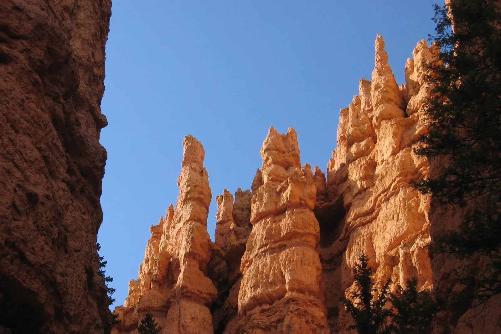
NPS explains how frost wedging and erosion break rock into thinner walls, openings and eventually hoodoos. Look for those different forms in the same view rather than treating the amphitheater as a uniform field of red towers. The landscape becomes more legible when you notice the relationships between broad fins and isolated shapes.
NPS: frost wedging, fins and hoodoo formation
Changing light can emphasize different edges and layers, but the visit does not need to depend on a perfect sunrise. Choose a permitted viewpoint where the group can look comfortably. A patient observation of one section may reveal more than a fast drive between every named point.
Visitor information → selected rim section → rest and reassessment
Check the day’s trail and transport information
Begin with the current park guidance and choose the walking segment. Decide whether you are returning to the same place or using an operating shuttle, and identify the actual pickup before leaving the starting area.
Sunrise or Sunset Point · Establish the view
Use a permitted overlook to understand the amphitheater’s shape. Read the interpretation where available instead of treating the first photograph as the end of the stop.
Walk the chosen rim portion
Keep to the selected route and pause where there is room for others to pass. A shorter out-and-back can be appropriate when conditions or ability make the full segment less appealing. The name Rim Trail should not pressure the group to complete all of it.
Meal or warm-up · Choose whether anything remains
Take the rest the group needs before considering another viewpoint or a separate trail. A cold, windy or tiring day can end with the rim visit. Do not turn a sensible short plan into an improvised descent to fill an arbitrary time target.
NPS: Bryce Canyon visit planning
These are editorial steps rather than measured timings. Adjust the order around the actual base, shuttle and opening information. A full day can include more interpretation and a chosen additional view without requiring a strenuous hike.
The return is uphill even when the beginning feels easy
Use the park’s current trail descriptions to assess a below-rim route. Trails such as Queen’s Garden or the Navajo Loop have different profiles and seasonal constraints from the paved rim portion. Choose the actual open route and its climb back before starting downhill.
NPS: Bryce trail grades and paved rim section
Snow, ice, weather and elevation can change how a route feels. A dry-looking viewpoint is not proof of conditions farther below or in shaded sections. If the intended trail is unsuitable, keep the rim version rather than trying an unfamiliar alternative to preserve the idea of a loop.
Keep the onward drive in the decision. A transfer to another Utah base after a substantial hike needs a realistic window and an alert driver. If the day includes moving accommodation, choose the shorter visit or add a night instead of forcing the final climb and a long road journey into the same tired evening.
The distinction between rim and descent is the main planning benefit of this guide. Neither is the lesser visit when it matches the traveler. One emphasizes the pattern of the landscape; the other changes scale and effort. Choose deliberately rather than letting the first downhill steps make the choice for you.
Choose the next park deliberately
Is every part of the Rim Trail paved?
No. NPS specifies the Sunrise–Sunset section as the paved portion. Check the exact segment and current access for the visit you want.
Must I hike below the rim to appreciate Bryce?
No. A thoughtful rim visit can be complete. A descent adds a separate effort and return requirement, so choose it for its own merits and suitability.
Choose another Utah park day
Zion Canyon
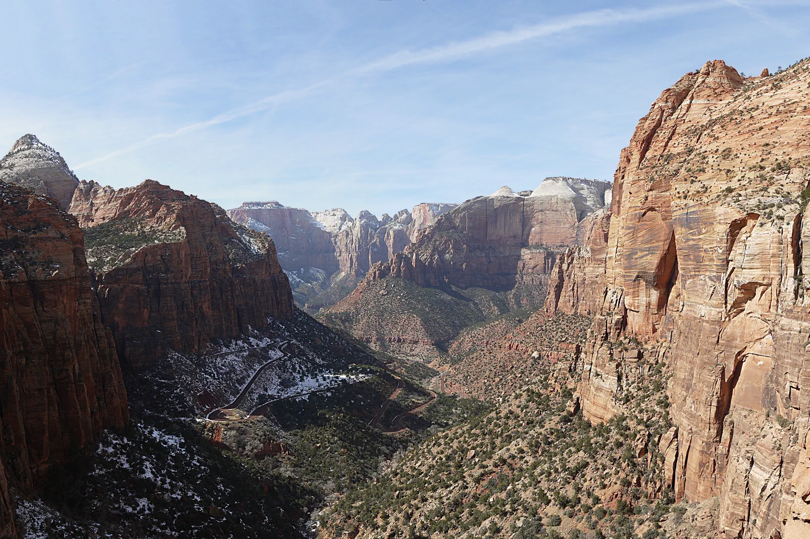
Zion’s main canyon uses transport and trail rules that depend on season and route. A riverside introduction is different from a permit-controlled hike, and neither should be chosen solely because an online itinerary calls it essential.
Open guide →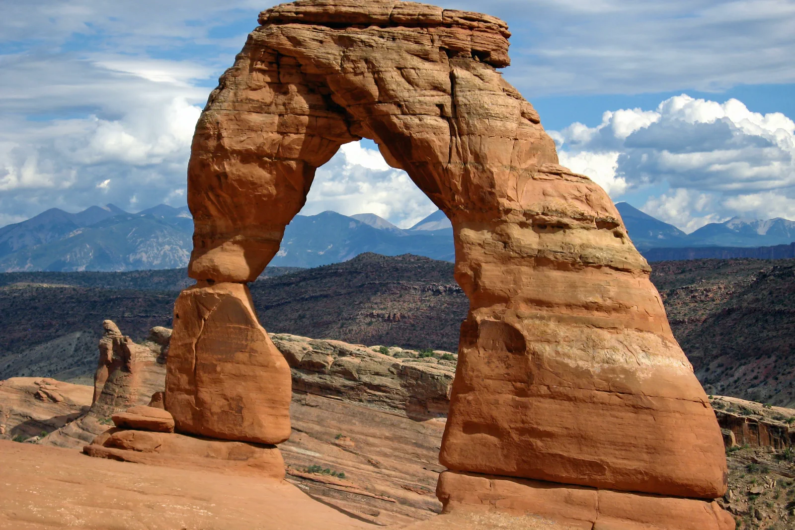
Moab, Arches & Canyonlands
Moab serves two major parks with separate entrances and different distances. Arches viewpoints and Canyonlands’ Island in the Sky can each fill a day, while remote sectors require another level of preparation.
Open guide →References, review and image credits
Source information checked on 11 September 2026. Route order, comparisons and suggested pacing are TripDistill editorial judgments; they are not official operator itineraries.
- NPS: Bryce Canyon visit planning
- NPS: Bryce shuttle route and seasonal schedule
- NPS: Bryce trail grades and paved rim section
- NPS: frost wedging, fins and hoodoo formation
- Zion Canyon — Óðinn, CC BY-SA 2.5 ca. Resized, display-cropped and converted to WebP; no other material edits.
- Bryce Canyon — “Jon Zander( digon3 )”, CC BY-SA 3.0. Resized, display-cropped and converted to WebP; no other material edits.
- Moab, Arches & Canyonlands — Thomas Schoch, CC BY-SA 3.0. Resized, display-cropped and converted to WebP; no other material edits.
Editorial review: 11 September 2026. Check current official information before travel.