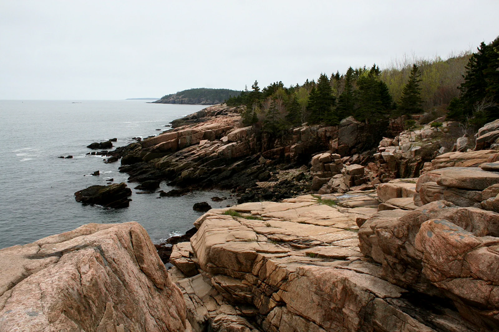
Acadia / Three landscapes, separate access decisions
Coast first.
Choose the climb.
An Acadia visit does not depend on one summit photograph. Match a coast, pond or carriage-road outing to the conditions, and treat Cadillac’s road reservation as a separate choice.
Park admission, a road reservation and a bus are different things
Use the NPS planning information to establish the entrance pass for your visit. If you want to drive Cadillac Summit Road during the reservation period, the vehicle reservation is a separate requirement; it is not a replacement for park admission. Check the current reservation dates and release arrangements instead of carrying forward an old season’s rules.
NPS: Cadillac Summit Road vehicle reservations
The Island Explorer can reduce parking pressure on routes it serves during its operating season, but NPS explicitly states that it does not serve Cadillac Summit Road. Do not plan a bus ride to that summit because a shuttle appears elsewhere on the park map. Match the actual stop, route and return service to your outing, and keep the current timetable available offline.
Choose the landscape before choosing the parking lot
Ocean Path area · Shoreline attention
Use a selected permitted coastal section rather than promising every viewpoint in one outing. The interest is the meeting of rock and Atlantic water, not proximity to breaking waves. Stay on appropriate routes and away from wave-washed rocks; a dry-looking ledge can still be exposed to changing water conditions.
Jordan Pond · Water, mountain shapes and a chosen path
Begin with the viewpoint and the specific walking option that suits your group. Do not assume that a pond circuit is uniformly easy simply because it circles water. Choose the relevant path and current conditions before committing to the whole loop, and keep a meal booking separate from the assumption that parking will be instant.
Carriage roads · A constructed landscape
The carriage-road network, bridges and numbered junctions offer a different way to experience the park. These roads are not all flat. Select a modest route using the official user map, noting the starting junction, turnaround and return. A smooth surface in a photograph does not establish the effort of the entire network.
Cadillac · A separate summit outing
Choose this only when the reservation, road status and conditions fit. A summit visit is not a guarantee of a clear horizon, and sunrise is not a compulsory mark of a successful Acadia stay. Keep the rest of the day lighter if the visit requires an unusually early start.
For a specific coastal starting plan, compare the Ocean Path section from Sand Beach toward Thunder Hole. Decide at the outset whether to return along the same permitted route or use a confirmed seasonal bus arrangement. Continuing toward Otter Point is an extension, not a requirement. The NPS describes mixed surfaces and some shallow steps on the Sand Beach–Thunder Hole section, so a broadly gradual trail should not be advertised as step-free throughout.
Two days that remain useful without a perfect sunrise
Day one · A selected coastal visit
Check current park information and reach the chosen coastal section with a usable parking or shuttle plan. Keep the walk modest enough to spend time looking and resting. Add another nearby stop only if it does not restart a long parking search; returning to your base for a relaxed meal is a reasonable finish.
Day two · Pond or carriage-road focus
Choose Jordan Pond or a specific carriage-road route as the main activity rather than trying to do both in full. Use the numbered map when on the carriage roads and confirm the return bus if relying on it. A shorter route with time to understand the bridges and landscape can be more satisfying than an overlong loop.
Optional third day · Summit or a deeper interest
Use a workable Cadillac reservation or give another park landscape more time. Keep this day flexible when the booking terms allow, rather than filling every hour before seeing the conditions. A longer hike belongs only in a plan matched to your ability and current route information.
Two or three days based around Mount Desert Island give a selective visit room to change. They do not cover every part of Acadia: Schoodic and other park areas have their own geography and should not be described as a tiny detour from any island hotel. If you have only one day, choose a limited park purpose and avoid spending it repeatedly driving between full parking areas.
What changes when parking, weather or energy does not cooperate
The NPS recommends careful planning and use of the fare-free Island Explorer where it operates. If the first parking area is full, use the permitted alternative in your plan rather than stopping on a prohibited roadside. A bus option is useful only when the stop and return match the route; do not finish a walk far from its operating network and hope a service appears.
NPS: Acadia traffic and Island Explorer
In wet or windy conditions, choose a shorter appropriate route and leave exposed shore rocks and higher objectives out. A pond view from a suitable access point is a different outing from a complete loop; a lower-level visit should be selected on its own merits, not described as universally safe in every condition. Seasonal closures, ice and reduced services can remove options that worked in summer.
For reduced mobility, check the exact path surface, gradient, accessible parking or shuttle arrangement with NPS rather than treating the park as one accessibility category. Keep the day near facilities you have verified and arrange food and water before a longer outing. The point of a flexible stay is to change the route before the difficulty changes the entire trip.
Before choosing the overnight stop
Does the Island Explorer go to Cadillac’s summit?
NPS says there is no Island Explorer service on Cadillac Summit Road. Check a separate permitted transport or driving plan if that summit is your objective; a general park shuttle map is not enough.
Can I replace the road reservation with any hike?
No. A hike is a separate decision about ability, equipment, route and weather. Missing a driving reservation should not push you into an unfamiliar exposed hike. A coastal or pond-focused visit can be the complete alternative.
Choose the next regional chapter
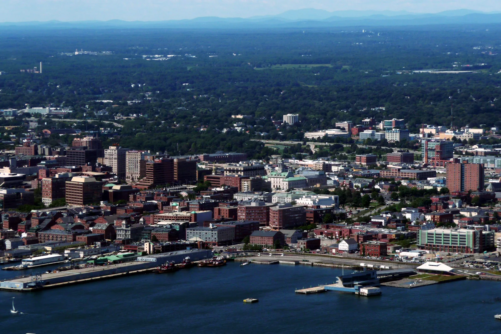
Portland, Maine & Casco Bay
Portland pairs a compact working waterfront with island ferries and a regional food scene. The Old Port is not the same outing as a distant lighthouse circuit, and ferry choice determines whether you are visiting an island or simply enjoying the crossing.
Open guide →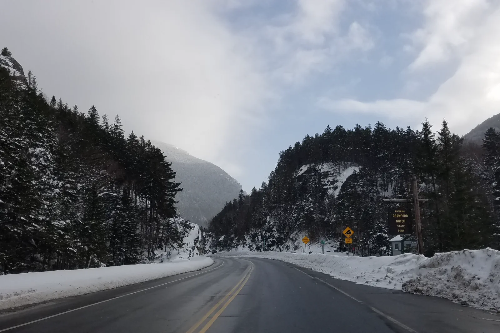
White Mountains & Vermont Roads
Northern New England is a road journey with slow scenic sections and rapidly changing mountain weather. A valley village, a short trail and a mountain-road viewpoint may fit one day; crossing several states while hiking usually does not.
Open guide →References, review and image credits
Source information checked on 11 September 2026. Route order, comparisons and suggested pacing are TripDistill editorial judgments; they are not official operator itineraries.
- NPS: Acadia visitor planning
- NPS: Cadillac Summit Road vehicle reservations
- NPS: Jordan Pond
- NPS: Acadia carriage roads
- NPS: Acadia traffic and Island Explorer
- Portland, Maine & Casco Bay — Alex Boykov, CC BY-SA 3.0. Resized, display-cropped and converted to WebP; no other material edits.
- Acadia & Mount Desert Island — Dshadoe, CC BY-SA 3.0. Resized, display-cropped and converted to WebP; no other material edits.
- White Mountains & Vermont Roads — Ascended Dreamer, CC BY-SA 4.0. Resized, display-cropped and converted to WebP; no other material edits.
Editorial review: 11 September 2026. Check current official information before travel.