Georgetown / Street → canal → river
Follow the slope.
Keep the way back.
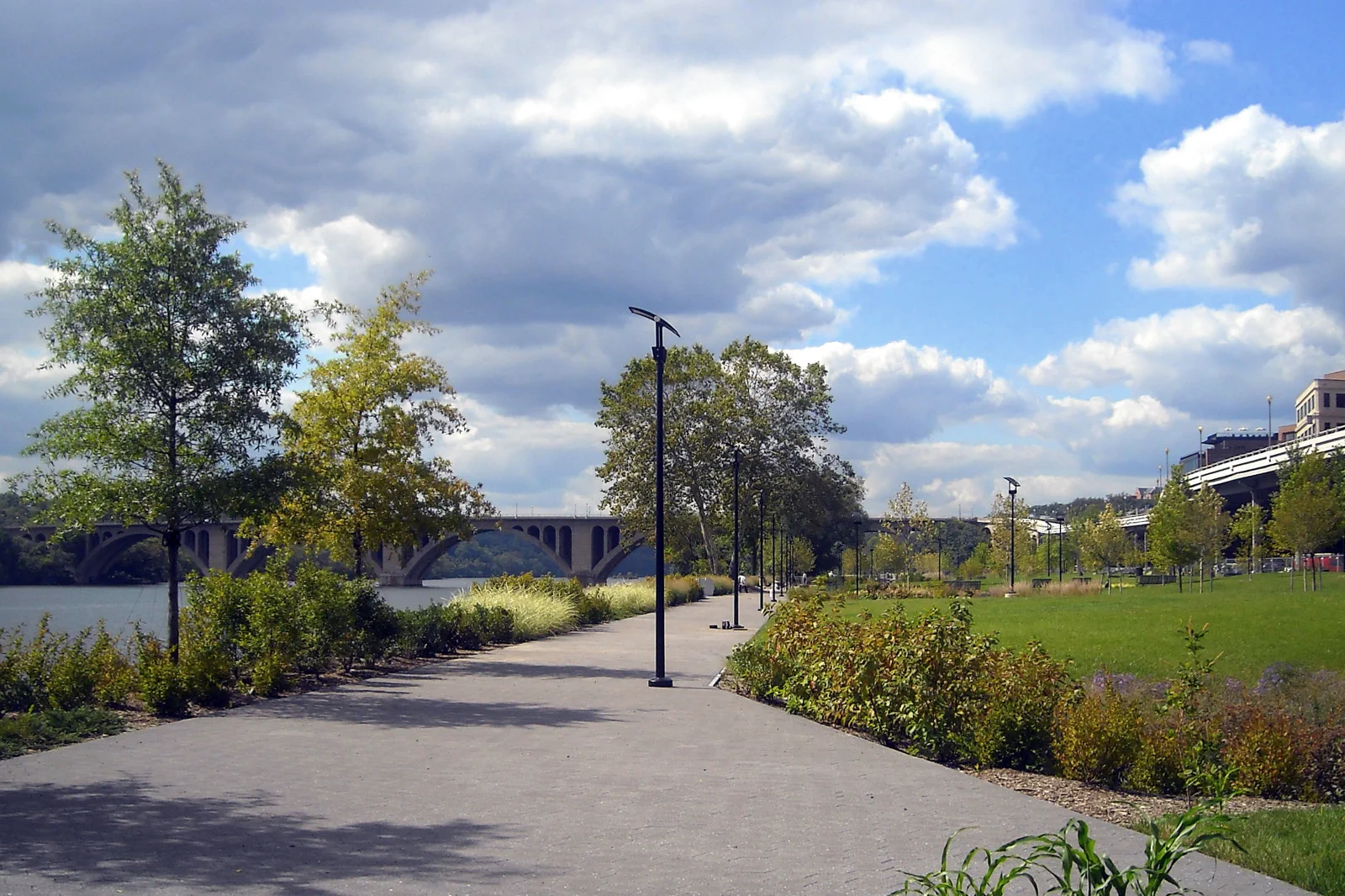
M Street, the canal and the Potomac are three related layers, not one flat promenade. Choose a compact route and let the meal be part of the neighborhood.
There is no central Georgetown Metro stop
Choose a current bus connection, a taxi or a manageable walk from a useful station rather than searching for a Georgetown station entrance that does not exist. Foggy Bottom is an approach to compare, not an arrival in the middle of M Street. Check the actual walking route and slope before using that option with bags, children or reduced mobility. If you arrive by car, identify a legitimate parking arrangement instead of treating shopping streets as guaranteed curbside spaces.
WMATA: station information and access
Georgetown BID: neighborhood orientation
Set a meeting point at a named street corner or business you can identify, keeping its entrance clear. “By the waterfront” is too broad for a group arriving by different methods. Save the return stop or pickup location now; doing so before descending toward the river avoids turning the final part of the day into a tired uphill search.
Three layers, each with a different reason to stop
A street-level pause at the Old Stone House
The Old Stone House at 3051 M Street NW offers a way to connect the shopping street with an older domestic scale. The National Park Service describes both the surviving house and its garden setting. Check current opening arrangements if you want to enter; an exterior stop can still help explain why this small building feels different from the commercial frontage around it. Use it before descending toward the canal rather than adding an unnecessary uphill return at the end.
A compact street-to-river outing
Start with M Street orientation
Find the M Street and Wisconsin Avenue area, look at the street pattern and decide whether a brief uphill section interests you. If the purpose is a meal or a specific shop, put that first rather than walking past it to fulfill a generic loop. Keep shopping detours proportionate to the time available.
Choose a permitted canal connection
Use current signs and an open public approach to reach a modest canal section. Read the visible landscape as transport infrastructure rather than a decorative moat. Do not descend steps that your group cannot comfortably reverse, and do not treat a closed stretch as a minor inconvenience to bypass.
Continue toward the waterfront
Take an appropriate public street connection toward the park and pause at the river. This is the moment for a rest, not an invitation to add an unplanned long excursion. Keep clear of active paths when stopping for photographs and respect the space of people using the waterfront for their own day.
Return to the meal or departure point
Choose the way back before appetite and fatigue dictate it. A restaurant on M Street may require an uphill return from the river; a waterfront meal has a different final pickup. If the approach from Metro was already a long walk, compare a current bus or taxi return rather than repeating it automatically.
This is a schematic editorial order, not a surveyed map or an assurance that every connection is step-free. The actual open path and your own mobility take precedence. A half-day allowance with a meal can be a useful starting plan, while a focused shop or restaurant visit may need less; there is no reason to stretch the outing solely to claim a full day.
A canal extension and a river boat are separate decisions
If the canal itself is the interest, use NPS information to choose a specific open section with a clear turnaround. Do not enter a longer walk with only the assumption that the towpath will eventually lead to a convenient station. Water, daylight, surfaces and the return distance matter more once you leave the compact commercial area. The C&O Canal is a much larger route than the Georgetown portion covered here.
NPS: C&O Canal access and conditions
If a boat trip is the interest, check its exact pier, route, landing and return arrangement before buying. A scenic cruise and a transport service are not interchangeable, and a boat photographed on the river is not proof of daily service. Build the meal around the actual booking rather than promising to step off at a different waterfront neighborhood whenever you choose.
Make the slope part of the accessibility decision
For reduced walking, choose the arrival point closest to the part you want and limit the number of level changes. Confirm a restaurant’s actual entrance and facilities directly. Canal scenery does not establish an accessible route, and a short staircase can make a supposedly compact loop unsuitable. Use permitted street alternatives or keep the visit entirely on one level where practical.
In rain, shorten the canal and river sections and keep a confirmed indoor meal or shop as the anchor. Do not assume a private building will serve as public shelter. After dark, use a known, appropriate return connection and avoid extending onto an unfamiliar towpath simply because the main streets remain busy. Check current transport rather than relying on an old route number from a travel blog.
Before setting out
Should I stay in Georgetown?
It can suit a trip centered on the neighborhood, but compare the full transport pattern before booking. A central Metro-connected base may be simpler when most days are spent across the Mall and museums. The atmosphere of a hotel’s street and its daily connections both matter.
Can I walk here after all the western memorials?
Some visitors can, but that adds another substantial section and a later return. Decide before the memorial outing rather than treating Georgetown as an automatic final stop. A separate half-day often leaves more energy to enjoy the neighborhood.
Choose another Washington day
National Mall & Memorials
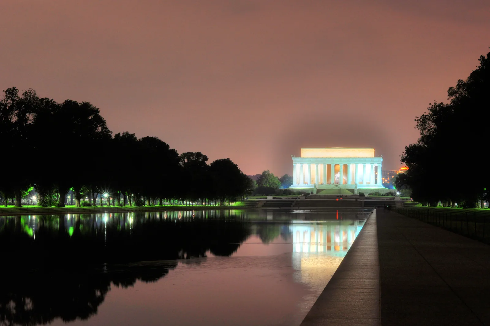
The Mall looks compact on a map but its memorials are separated by long walks in exposed conditions. Treat commemorative sites as places for reflection and plan water, shade and a transport exit before walking from end to end.
Open guide →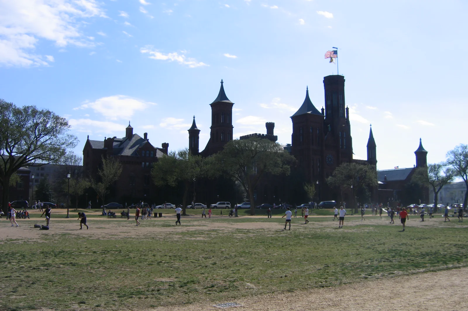
Smithsonian Museums & Capitol Hill
The Smithsonian is a group of institutions with different locations and entry arrangements. Pick a subject and a specific museum before planning the day; a free admission policy does not mean all popular entries are available without a reservation.
Open guide →References, review and image credits
Source information checked on 11 September 2026. Route order, comparisons and suggested pacing are TripDistill editorial judgments; they are not official operator itineraries.
- Georgetown BID: neighborhood orientation
- NPS: Georgetown waterfront and canal origins
- NPS: C&O Canal access and conditions
- WMATA: station information and access
- National Mall & Memorials — miketnorton, CC BY 2.0. Resized, display-cropped and converted to WebP; no other material edits.
- Smithsonian Museums & Capitol Hill — Andrew Bossi, CC BY-SA 3.0. Resized, display-cropped and converted to WebP; no other material edits.
- Georgetown & the Potomac — AgnosticPreachersKid, CC BY-SA 3.0. Resized, display-cropped and converted to WebP; no other material edits.
Editorial review: 11 September 2026. Check current official information before travel.