Sedona / Choose the trailhead before the trail photograph
One red-rock outing.
Time for the town.
Select the grade and access that suit the group, then leave room for a meal, gallery or the chapel. A familiar rock name does not tell you how its route works.
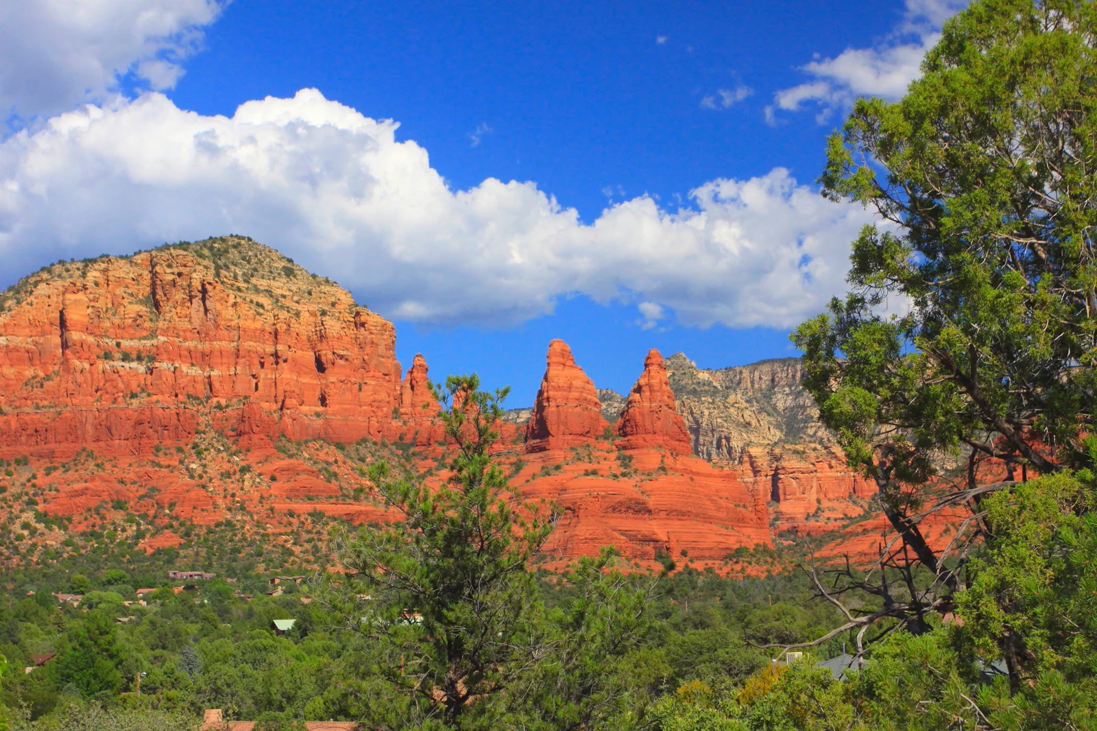
Uptown, West Sedona and the Village of Oak Creek are different bases
Uptown
Compare this for a stay centered on shops, galleries and the town portion of the visit. The trade-off is the journey to a particular trailhead and the busy visitor setting. Choose the real parking or shuttle connection, not only a central hotel label.
West Sedona
Compare this for the particular local services and trail approaches you intend to use. It is not automatically beside every red-rock walk. Map the daily route and the evening meal before deciding that a cheaper room also gives you a convenient base.
Village of Oak Creek
Compare this for the southern red-rock portion of the trip. The trade-off is a separate journey into other Sedona districts. A scenic base is more useful when most of the day remains on the side you chose rather than repeatedly crossing town.
Arizona Office of Tourism: Sedona districts and interests
A two-day stay can provide one principal walk and another more relaxed town or landscape visit. It does not need two demanding hikes. A short trip can choose one suitable public viewpoint and town time without attempting the most photographed ascent.
The free trailhead shuttle can change where you park
The City of Sedona’s trailhead shuttles normally operate Thursday through Sunday, with current schedules and any expanded service listed by the city. Its FAQ states that Cathedral Rock trailhead parking closes to the general public while the shuttle operates. Check the actual route and day before driving to the trailhead as though the bus were merely an optional extra.
City of Sedona: trailhead shuttle routes
City of Sedona: parking and shuttle conditions
A shuttle ride and the suitability of the trail are separate decisions. Reaching Cathedral Rock does not make the climb appropriate for every visitor. Choose the actual route for its grade and conditions, and keep the return shuttle or other confirmed transport in the plan.
US Forest Service: Yavapai Vista and required recreation pass
A selected viewpoint or walk, followed by the district you are staying in
Confirm the route and access first
Use the current land-manager description and city transport information to select the day’s actual outing. Decide whether the goal is a modest view, a walk or a more demanding trail, rather than letting an online photograph make that choice.
Reach the correct public starting point
Use the designated parking or shuttle arrangement and note the return. Do not use a residential access or a road shoulder as an improvised overflow lot. A trailhead with a familiar name can have restrictions that change the arrival.
Give one route time
Stay on the selected open path and turn around according to the conditions and the group. A short visit at a suitable vista can be enough; a longer climb should not be added because other visitors continue farther.
Return for a meal and a different pace
Use the town portion for food, a gallery or a relaxed public-space visit. This provides a change of attention after the landscape rather than treating the remainder of the day as a second compulsory hike.
This is an editorial framework, not a turn-by-turn hiking description. A viewpoint and a summit route are not interchangeable, and an easy label does not remove heat, footing or individual access considerations. Read the exact route information before committing.
The chapel and galleries deserve their own kind of attention
The Chapel of the Holy Cross publishes visitor information and a worship calendar. Choose a public visit that respects services and the people using the site. The surrounding view does not make every part of a religious property an unrestricted photography area.
Chapel of the Holy Cross: visitor information and worship calendar
For town time, choose Uptown or another gallery and shopping area that fits the day’s geography. Look at the work and the actual business hours rather than using the district as a list of obligatory storefronts. A seated meal and a limited gallery visit can be the full second half of the day.
Arizona Office of Tourism: Sedona districts and interests
If weather or trail access makes the outdoor plan unsuitable, keep a verified town or cultural visit instead of replacing one closed route with an unfamiliar one. A planned rest can also be the right choice before the next regional drive. The point of staying in Sedona is to spend time there, not to prove how many trail names can fit around the hotel booking.
Cultural sites, private property and protected land require their own permissions and conduct. Use the host’s information and leave objects and rock surfaces untouched. A scenic setting should not be interpreted as an invitation to create a new path or leave a personal mark.
Before moving to another landscape
Is Cathedral Rock parking always available if I arrive by car?
No. The city says the trailhead parking closes to the general public while its shuttle operates. Check the actual service day and designated parking arrangement first.
Does a free shuttle mean the trail is suitable for everyone?
No. Transport access and trail difficulty are different. Select the route by its current description, conditions and the group’s ability.
Choose another Arizona landscape
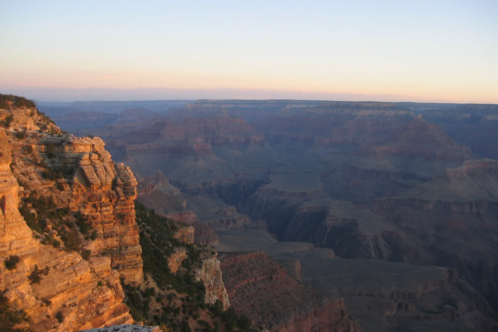
Grand Canyon South Rim
The South Rim supports a meaningful visit from viewpoints and rim paths alone. Descending below the rim adds heat, distance and a demanding return climb; it should not be treated as a casual extension of a viewpoint stop.
Open guide →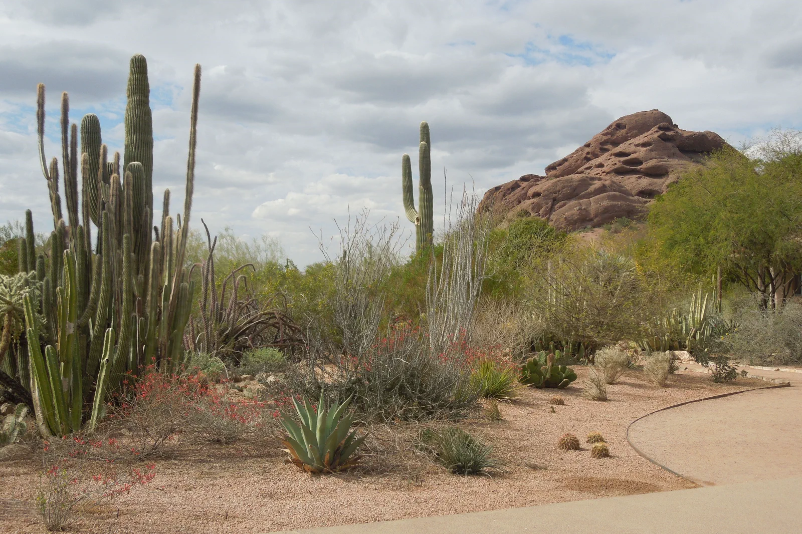
Phoenix & Scottsdale
The Phoenix area is a broad desert metropolis with museums, gardens and severe seasonal heat. A cultural day can be rewarding without a summit hike, especially when temperatures make exposed trails inappropriate.
Open guide →References, review and image credits
Source information checked on 11 September 2026. Route order, comparisons and suggested pacing are TripDistill editorial judgments; they are not official operator itineraries.
- Arizona Office of Tourism: Sedona districts and interests
- City of Sedona: trailhead shuttle routes
- City of Sedona: parking and shuttle conditions
- US Forest Service: Yavapai Vista and required recreation pass
- Chapel of the Holy Cross: visitor information and worship calendar
- Grand Canyon South Rim — “Jon Zander ( Digon3 )”, CC BY-SA 3.0. Resized, display-cropped and converted to WebP; no other material edits.
- Sedona & Red Rock Trails — Ernst Krenger, CC BY 3.0. Resized, display-cropped and converted to WebP; no other material edits.
- Phoenix & Scottsdale — Simeon87, CC BY-SA 3.0. Resized, display-cropped and converted to WebP; no other material edits.
Editorial review: 11 September 2026. Check current official information before travel.