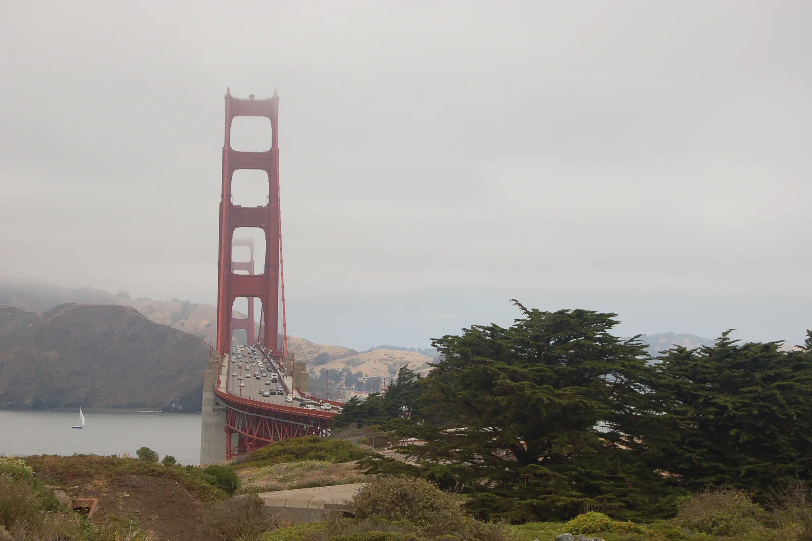
Presidio & Golden Gate / Three landscape levels
Above the tunnels.
Beside the bay.
At the bridge.
Choose the part of the northern landscape you want to experience, then connect it. The bridge is a landmark, not an instruction to walk every approach.
Three versions of a northern park day
Main Post and Tunnel Tops
Choose this for open space, a view and a shorter park-centered visit. The visitor facilities and selected public areas can be the core of the day. It is a useful option when a long exposed crossing is not the group’s priority.
Crissy Field and the lower waterfront
Choose a suitable shoreline route for a longer look across the bay. Decide the turnaround point before extending toward another landmark. A flat-looking waterfront segment does not mean the connection back to an uphill destination is equally easy.
Bridge-side visit
Choose the welcome-area view or an allowed pedestrian section of the bridge. Decide whether the experience is seeing the span or walking on it. A full crossing introduces a second-side return problem that a southern viewpoint does not.
Presidio: Tunnel Tops and its facilities
The Presidio is a large park landscape, so use its map to connect particular places rather than treating its name as a single stop. Children may value time in a suitable play area more than another distant photograph. Visitors interested in military history may prefer a specific historic site to a long bridge walk.
Main Post → Tunnel Tops → a chosen lower or bridge-side ending
Arrive at the actual park connection
Start with the Presidio Transit Center or the public-transport stop that fits the chosen visit. Orient on the current park map before following the most visible crowd. If you intend to return by shuttle, identify the correct route and boarding point now.
Tunnel Tops · Pause above the road corridor
Use the public lawns, seating and viewpoints according to current park access. The attraction is the relationship between the designed open space, the bay and the larger Presidio, not simply another place to take the same bridge photograph. Give the group a real pause before adding distance.
Choose a lower shoreline segment or another park stop
Select the mapped connection that suits the group’s mobility and the day’s conditions. A short Crissy Field portion and return can be enough. If the next objective is the bridge, use the actual connection instead of assuming every waterfront path reaches its pedestrian entrance directly.
Finish with one specific destination
Choose a bridge-side view, a selected bridge walk or Fort Point when its own access works. These are not three compulsory consecutive stops. Leave the rest for a different outing if the return would otherwise become the longest and least enjoyable part.
This transect is an editorial selection rather than surveyed turn-by-turn directions. Follow the park’s current map and closures at each connection. When access needs are specific, verify the slope and surface of the chosen link, not only the accessibility of the destination at its far end.
Pedestrians use the east sidewalk under the current rules
The bridge district distinguishes pedestrian access from cycling access. Its visitor page directs pedestrians to the east sidewalk, with seasonal hours and possible earlier construction closures. Read the live notice before arranging an evening walk. Bicycle access follows a different operating pattern; a cyclist’s open gate or timetable does not establish permission for a pedestrian.
Golden Gate Bridge district: pedestrian and bicycle access
A partial out-and-back can provide the experience of being on the span without committing to a full crossing. Choose a turnaround while the group is still comfortable, and keep clear of moving users when stopping. Wind and visibility can change the appeal of the walk; seeing less of the skyline is not a reason to leave permitted space.
A free shuttle still has route and eligibility conditions
Presidio GO has a Downtown Route and an around-the-park South Hills Route. The official guidance limits some weekday commute trips on the Downtown Route, while the South Hills service is available to all without a shuttle pass. Check the actual trip rather than assuming free means every visitor can board every departure.
Presidio GO: routes and commute-time restrictions
Use current public transit when the restricted trip does not fit your eligibility, or change the visit time. Keep the final connection in the plan; a last photograph should not leave the group searching for a different route after its chosen service ends. If bringing a vehicle, use legitimate parking and include the walk from that parking area.
Plan food around the portion of the park you selected. A picnic, a current vendor and a meal outside the park have different availability and carrying needs. Do not extend the route to find a particular food stop if the group needs to sit and return. In less favorable weather, a shorter park visit and a verified indoor interest elsewhere can replace the crossing.
The useful measure of this day is how well its levels connect. A visitor who spends time at Tunnel Tops and a shoreline section may understand the landscape better than someone rushing from the bridge to the fort to a bus without ever stopping to look.
Decisions before the next day
Must I cross the entire bridge?
No. A permitted viewpoint or partial walk can answer the interest. A full crossing needs a return plan from the other side and conditions suited to the group.
Can every visitor take every free Presidio GO trip?
No. Some Downtown Route commute departures have restrictions. Read the current eligibility and timetable; the South Hills route follows different access terms.
Choose another San Francisco day
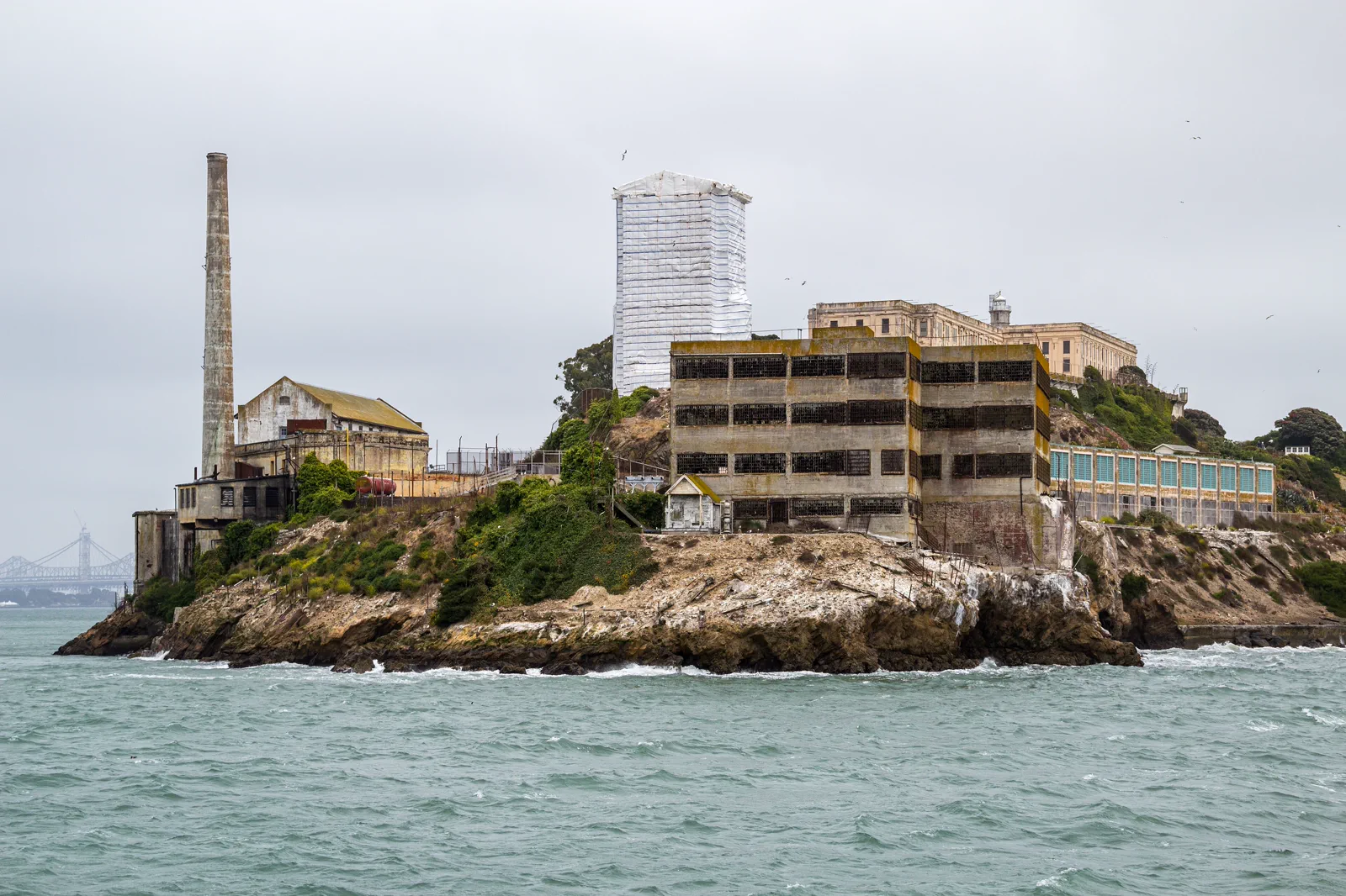
Embarcadero & Alcatraz
The waterfront connects ferry infrastructure, public promenades and Alcatraz departures. An island ticket needs advance attention; ordinary sightseeing cruises can circle the island without landing.
Open guide →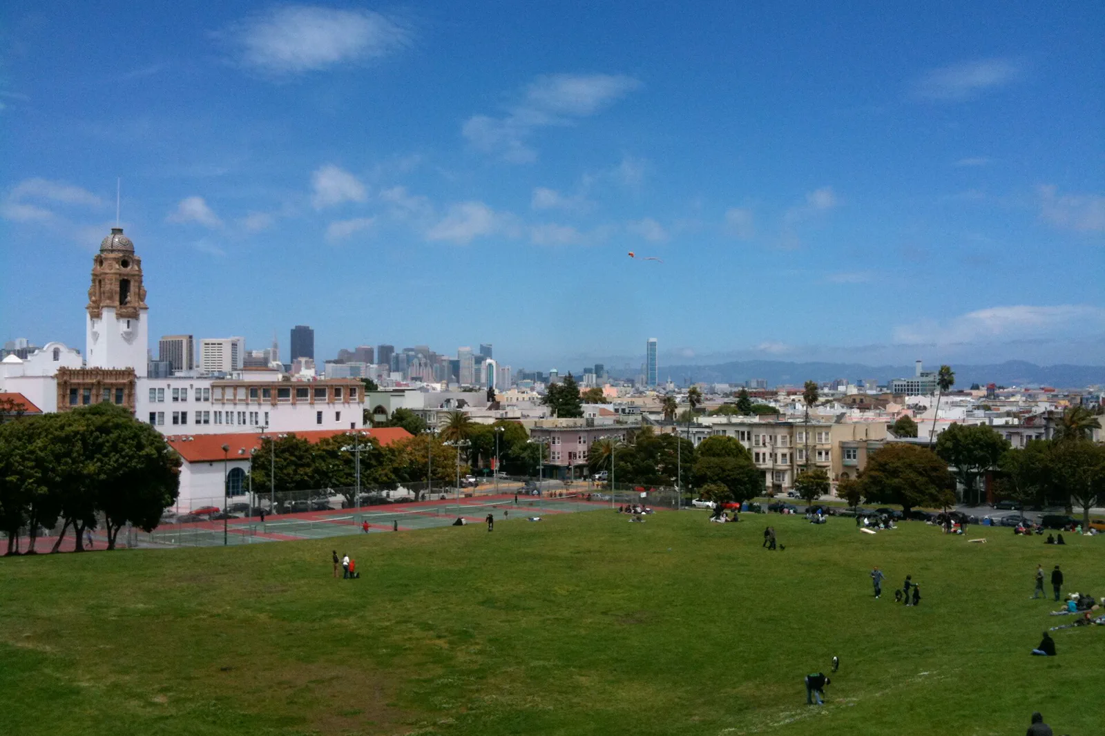
Mission District & Neighborhood Walks
The Mission is a living district shaped by Latino culture, art and independent businesses. Murals need context and respectful viewing, while nearby parks and food stops make a better day than a checklist of photo walls.
Open guide →References, review and image credits
Source information checked on 11 September 2026. Route order, comparisons and suggested pacing are TripDistill editorial judgments; they are not official operator itineraries.
- Presidio: Tunnel Tops and its facilities
- Golden Gate Bridge district: pedestrian and bicycle access
- NPS: Fort Point visitor information
- Presidio GO: routes and commute-time restrictions
- Embarcadero & Alcatraz — Dietmar Rabich, CC BY-SA 4.0. Resized, display-cropped and converted to WebP; no other material edits.
- Golden Gate & the Presidio — Rob Young from United Kingdom, CC BY 2.0. Resized, display-cropped and converted to WebP; no other material edits.
- Mission District & Neighborhood Walks — Clyde Charles Brown, CC BY-SA 4.0. Resized, display-cropped and converted to WebP; no other material edits.
Editorial review: 11 September 2026. Check current official information before travel.