Mississippi River & wetlands / Two different journeys
Cross the river.
Or plan for the wetlands.
An Algiers ferry visit stays within the city’s river geography. A wetland outing needs separate transport and a closure-aware destination, not an assumption that an old boardwalk itinerary still operates.
A ferry, a river cruise and a wetland tour are different products
RTA: streetcar, bus and Algiers ferry routes
NPS: Barataria closure and relocated visitor services
The river day is often the smaller geographic choice; the wetland day has an additional road journey and a different set of conditions. Pick the interest first. A short stay may be better served by a thoughtful urban crossing than by fitting an unverified distant tour into the hours before a concert.
Canal Street → Algiers Point → a known return
Read the route 1 ferry information
Check current RTA service and the exact Canal Street departure arrangement. Keep terminal access and boarding time in the plan. A special-event timetable should not be assumed to apply on an ordinary day.
Make the crossing part of the observation
Notice the scale of the river and the relationship between the two shores from permitted passenger areas. Follow crew instructions. The ferry is a working transport service, not a private photographic platform.
Choose a limited Algiers Point visit
Use the currently open public approach for a short levee and neighborhood portion. The local visitor guide identifies the Jazz Walk of Fame as one interest. Read selected markers, then choose a nearby meal or return instead of extending the walk indefinitely along the river.
Return from the correct terminal
Use the actual current return and leave room to reach it. If boarding access has changed, follow current signs. A skyline photograph should not consume the margin needed for the last useful service and the onward hotel connection.
RTA: streetcar, bus and Algiers ferry routes
New Orleans & Company: Algiers Point and public visitor interests
Confirm fares and any pass coverage before boarding. If the group has bicycles or particular access needs, read RTA’s current terms rather than assuming every ticket and boarding arrangement is identical. A cancelled or unsuitable crossing can become a shorter city-side riverfront visit when that public access is open.
The usual Barataria visitor-center plan is interrupted
NPS: Barataria closure and relocated visitor services
NPS identifies relocated visitor services at the Louisiana Wetlands Education Center and Wetland Trace Boardwalk at 4917 City Park Drive, Jean Lafitte, Louisiana 70067. This is a different location from the preserve’s usual visitor center. The notice says the boardwalk is open daily, while the education center charges admission; check the current arrangement before assuming every part is free.
The notice also keeps Twin Canals parking, trail and canoe-launch access open for day use, with no restrooms and no camping or overnight stays. That limited access is not a reopening of the whole preserve. Choose it only if it fits the actual purpose and facilities needed; the existence of a canoe launch is not a recommendation to begin an unplanned paddling trip.
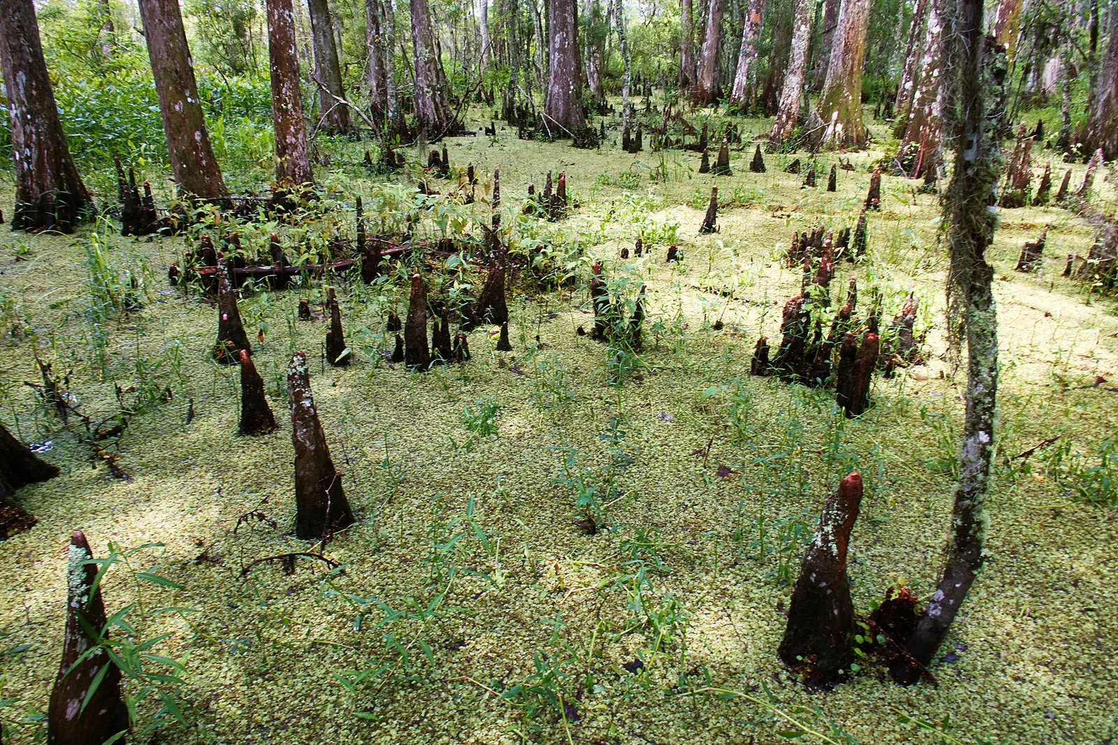
Read the current closure notice again before departure. A repair timetable is an expectation, not a guaranteed reopening date, and individual access can change. The archive photograph on this page illustrates the landscape; it is not evidence that the photographed path is open.
Use the revised destination as a complete outing
Choose the actual open place
Decide between the relocated Wetland Trace and education-center visit, another independently verified operator, or a different day. Save the correct address and current information. Do not drive to the old visitor center first merely because it appears in an older guide.
Confirm both directions and necessary facilities
Arrange a vehicle or a confirmed operator with a known pickup and return. Check the facilities, food and admission needed for the chosen site. A drop-off without a dependable return is not a complete plan outside the central city.
Interpret the habitat on a suitable open route
Choose the current designated walk and read the available interpretation. Look at water, vegetation and the transition between habitats rather than judging the visit by one animal. Follow closure signs even when an older map shows another boardwalk connection.
Finish with the full road journey still available
Leave time for the actual return and the next meal or hotel arrival. A wetland visit should not depend on reaching a distant evening performance at the last possible moment. If conditions worsen, shorten or cancel the outdoor portion.
This is an editorial planning outline, not a boat route or surveyed accessibility guide. Confirm the surface, grade and current access for the specific walk. A boardwalk can still have closures or conditions that differ from the general visitor description.
Observe wildlife without making it perform
NPS instructs visitors never to approach, harass or feed alligators. Follow the current site guidance and remain on permitted routes. A quiet water surface is not permission to reach over an edge or approach an animal for a photograph.
NPS: Barataria closure and relocated visitor services
If choosing a commercial wetland outing, compare the actual route, interpretation, wildlife practices, access needs and cancellation terms. Do not expect a guaranteed sighting or a close encounter. A quieter, habitat-focused visit and a faster boat product may offer different experiences; choose the one that genuinely fits rather than relying only on its main photograph.
An urban river day and a wetland day can both be worthwhile without being combined. The useful outcome is a coherent visit with confirmed access and a return, not a claim to have covered every landscape associated with New Orleans.
Before leaving the base
Is the ordinary Barataria visitor center open during the 2026 works?
The current NPS notice says the visitor center and most trails are closed, with services relocated. Read the latest notice and use the revised address rather than an older circuit.
Does the Algiers ferry reach the wetlands?
No. It is an urban river crossing. A wetland visit requires its own destination and onward transport plan.
Choose another New Orleans day
French Quarter & Live Music
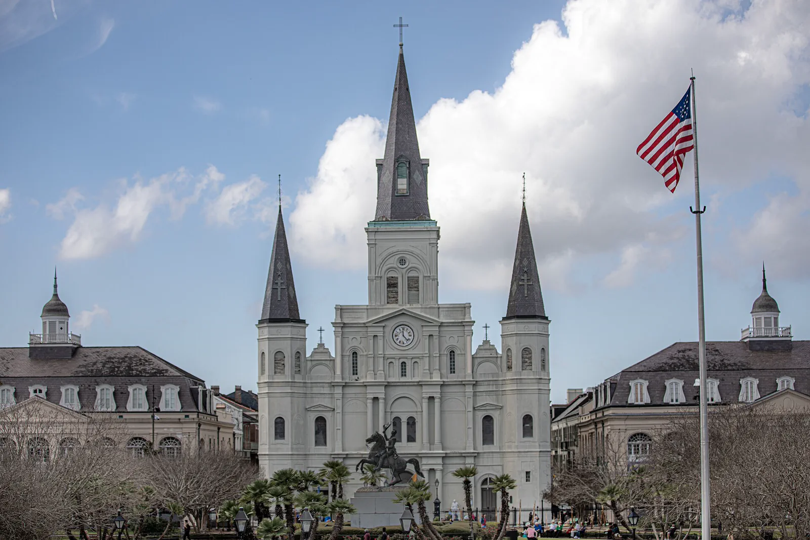
The French Quarter is a lived neighborhood as well as a visitor district. Architecture, museums and music can make a rich day without assuming that nightlife is the only reason to visit.
Open guide →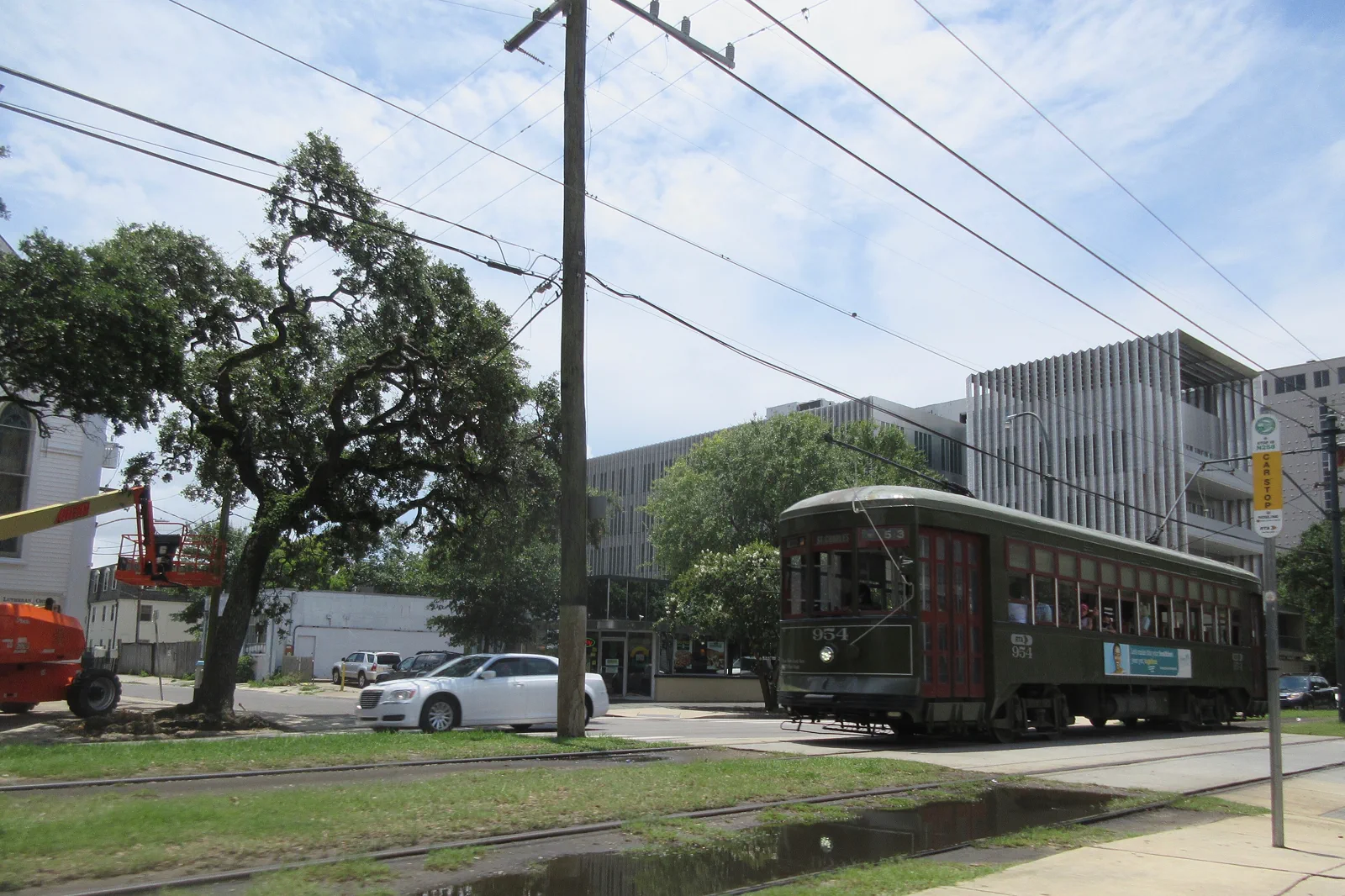
Garden District & Streetcars
The Garden District offers residential architecture and a slower street-level view of the city. Streetcars are useful transport, but service changes and stops should be checked rather than treating them as a guaranteed sightseeing loop.
Open guide →References, review and image credits
Source information checked on 11 September 2026. Route order, comparisons and suggested pacing are TripDistill editorial judgments; they are not official operator itineraries.
- RTA: streetcar, bus and Algiers ferry routes
- RTA: current fares and pass coverage
- NPS: Barataria closure and relocated visitor services
- French Quarter & Live Music — Mussi Katz, CC0. Resized, display-cropped and converted to WebP; no other material edits.
- Garden District & Streetcars — Infrogmation of New Orleans, CC BY-SA 4.0. Resized, display-cropped and converted to WebP; no other material edits.
- Mississippi River & Wetlands — Jim Bahn, CC BY 2.0. Resized, display-cropped and converted to WebP; no other material edits.
Editorial review: 11 September 2026. Check current official information before travel.