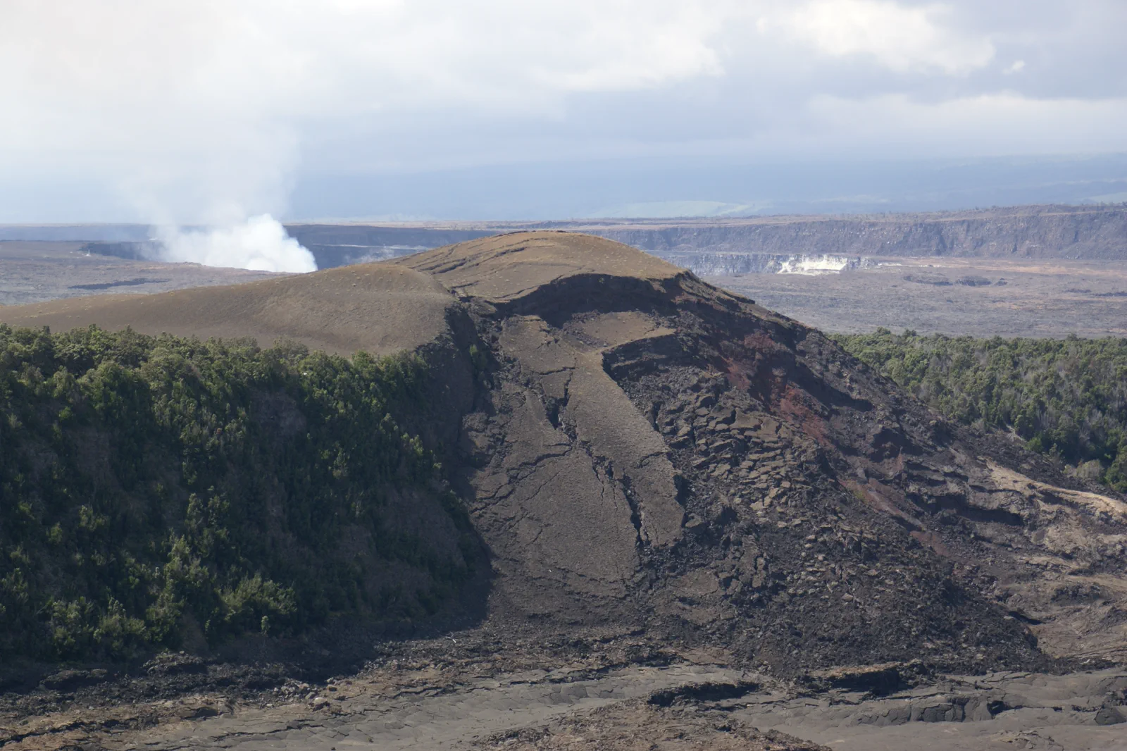
Hawaii Island / Two coasts and a changing volcano
Choose the base.
Let conditions choose
the park route.
A Kona stay, a Hilo stay and a Volcano-area stay place the next day differently. Plan the distances first, then build a park visit around current access rather than a promise of glowing lava.
A two-base stay should earn its moving day
Go Hawaii: Hawaii Island regions and local interests
For a short stay, choose the main coast and one substantial inland purpose. For a longer stay, compare a split base with repeated cross-island journeys. Include packing, the complete drive and the next arrival before deciding the move creates another full sightseeing day.
Make the airport and car return consistent with the final base. A journey can look efficient on a regional map while leaving a long last-day drive before a fixed departure. Keep the final local portion modest when it protects that connection.
Kilauea Visitor Center is not the current information stop
The NPS construction notice, checked on 11 September 2026, lists Kilauea Visitor Center and adjacent facilities as closed during renovation. A temporary Welcome Center operates at Kilauea Military Camp. Use that temporary location instead of assuming the usual building is open.
NPS: Kilauea visitor-facility construction
NPS places the Welcome Center 1.25 miles beyond the entrance station, with parking at the nearby ballfield. Use its current visitor information to choose a route that works that day. Construction schedules and separate storm or eruption notices can change the available parking and viewpoints.
NPS: temporary Welcome Center at Kilauea Military Camp
A park opening and an individual road or trail opening are different facts. Begin with the current conditions, then follow the actual directions and barriers on site. Do not infer that every branch of a printed map is available because the entrance station is operating.
Interpret the landscape before adding distance
Current information at the operating facility
Check the visitor-service arrangement, road notices and the current air-quality and volcanic information. Choose a suitable permitted viewpoint or route for the group rather than starting from an old eruption photograph.
A selected summit-area visit
Give the caldera landscape and interpretation enough time. Stay within the currently designated public area. A distant view can explain the scale without an attempt to get closer to an active or restricted feature.
One additional open feature, if appropriate
Consider another verified trail or road portion only after the main visit and the remaining time are clear. A longer drive such as Chain of Craters Road needs its own current access check and full return; it is not a mandatory extension.
A meal and the actual return to the base
Keep food and the road journey in the plan. If conditions, traffic or the first visit take longer, remove the optional extension instead of consuming the return margin.
This is an editorial sequence, not a live eruption-viewing route. Use the park’s current volcanic information, supplied with USGS context, for the actual activity. An eruption may not be visible, and a ticket or hotel stay cannot guarantee lava.
NPS and USGS: current volcanic activity
The park remains worth understanding through its landscape and cultural interpretation. A visit should not become a search for an unauthorized closer approach when a dramatic view is absent. Follow the current ranger guidance and choose the experience that is actually available.
Give the non-park day its own subject
On the west side, choose a specific historical or agricultural interest around the actual base. A coffee visit should use the farm’s real public tour or opening, not a general assumption that working land welcomes drop-in visitors. A town portion and a meal can be complete without another long transfer.
On the east side, choose a Hilo local visit and one suitable nearby interest. Read the actual state-park notice before adding a waterfall or coast stop, particularly after storms. A public viewing area and access to the water below it are not interchangeable.
Hawaii State Parks: current closures and access notices
Do not treat the island’s shoreline as uniformly suitable for swimming. Use official ocean guidance and the actual on-site conditions, or keep the visit shore-side. A day can still be worthwhile when it focuses on local history, food or a permitted viewpoint instead of water entry.
Hawaii Ocean Safety: current beach guidance
If the trip is primarily a coast stay, the park can be one deliberately planned journey. If the volcano landscape is the central interest, give it a nearby base and more than one flexible portion. These choices lead to different stays; neither needs to become a full-island checklist.
A shorter route is a valid result of current information
For poor visibility or a changed access notice, reduce the park route before adding a distant replacement. The current information stop and a suitable permitted viewpoint may be enough for that day. A longer walk needs its own preparation and should not be used to compensate for a closed road.
For limited mobility, confirm the precise facility, parking and surface rather than labeling the whole park easy to access. Construction can change the approach to a previously familiar place. Use the current visitor information to choose an actual workable portion.
Leave cultural and ecological sites as you found them, stay within permitted access and respect current interpretation and guidance. This is a living volcanic landscape and a Hawaiian cultural place, not an attraction whose conditions can be made to match an advance photograph.
Before choosing the next island day
Does a Hawaii Volcanoes visit guarantee visible lava?
No. Use current NPS and USGS information. Choose a worthwhile landscape visit without relying on a particular eruption view.
Should I go to Kilauea Visitor Center during the current renovation?
Use the temporary Welcome Center at Kilauea Military Camp and the latest NPS visitor-service notice instead of assuming the usual building is open.
Choose another island guide
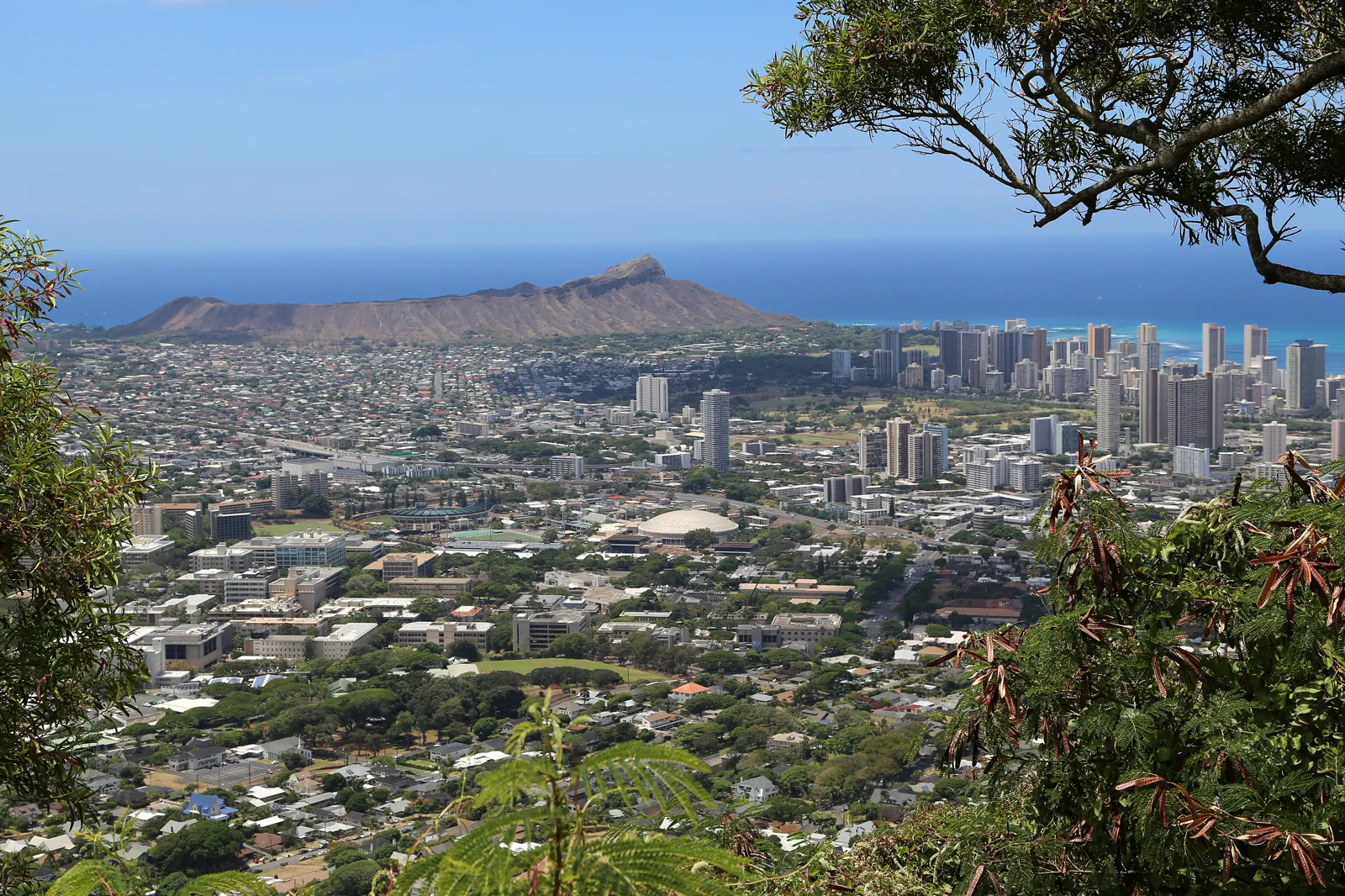
Oahu: Honolulu & Windward Coast
Oahu combines an urban stay with coastal roads and important historical places. Waikiki, Pearl Harbor and the windward coast deserve separate plans, with traffic and timed access accounted for.
Open guide →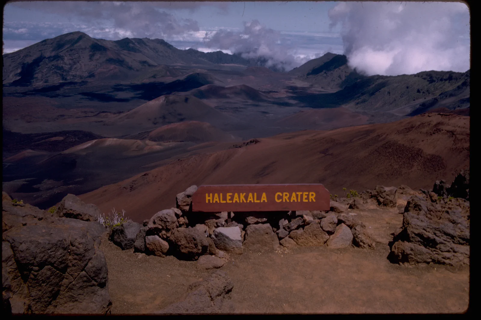
Maui: Haleakala & Coastal Days
Maui’s summit, coastal stays and winding road excursions are different days. Choose a base and a small number of activities, and follow current local guidance about access and recovery-sensitive areas.
Open guide →References, review and image credits
Source information checked on 11 September 2026. Route order, comparisons and suggested pacing are TripDistill editorial judgments; they are not official operator itineraries.
- NPS: current Hawaii Volcanoes conditions
- NPS: Kilauea visitor-facility construction
- NPS: temporary Welcome Center at Kilauea Military Camp
- NPS and USGS: current volcanic activity
- Hawaii State Parks: current closures and access notices
- Hawaii Ocean Safety: current beach guidance
- Oahu: Honolulu & Windward Coast — Dcrjsr, CC BY 3.0. Resized, display-cropped and converted to WebP; no other material edits.
- Maui: Haleakala & Coastal Days — National Park Service Digital Image Archives, Public domain. Resized, display-cropped and converted to WebP; no other material edits.
- Hawaii Island: Volcanoes & Two Coasts — Hermann Luyken, CC0. Resized, display-cropped and converted to WebP; no other material edits.
Editorial review: 11 September 2026. Check current official information before travel.