Atlanta Beltline / A shared trail, a selected neighborhood
Walk a useful section.
Pause in the city around it.
Choose one Eastside access point and one food or neighborhood anchor. The trail connects places; it does not require a visitor to complete the whole project in one outing.
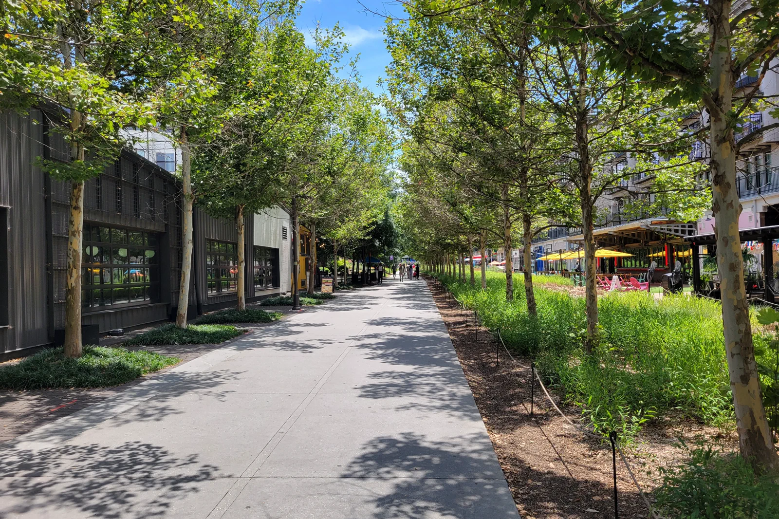
Ponce and Krog are anchors, not compulsory endpoints
The Beltline describes the Eastside Trail as a multi-use path and linear greenspace in a former rail corridor. Its visitor information connects it with places such as Ponce City Market and Krog Street Market. Choose a portion that gives time for the surroundings rather than treating the path only as a distance to complete.
Atlanta Beltline: Eastside Trail and nearby places
The options are different lengths and emphases, not a ranking. Someone who spends time with one neighborhood and a meal can gain more from the visit than a group hurrying between both markets without stopping. A trail-side business is also its own venue, with its own opening and access conditions.
Use an actual trail access point
Use the current Beltline map to choose the public entry and exit. A line passing near a street does not mean that every adjacent property provides public access. Construction and new connections can change the useful approach, so follow the currently directed entrance rather than an old screenshot.
Atlanta Beltline: current access map
If using MARTA, include the connection from the selected station or bus stop to that entry. The Eastside Trail is not itself a rail service. Future transit plans and the current walking or cycling path should not be presented as an already operating train route.
MARTA: stations, maps and current service
Atlanta Beltline: visitor information and trail use
If driving, choose legitimate parking for the actual visit and understand how the return reaches the car. A one-way trail walk needs a confirmed return arrangement. If renting a bike, read the permitted-use, return and equipment terms before assuming it can be left at any point along the path.
Trail entry → a selected public section → one neighborhood pause
Arrive at the named access
Orient the group before joining moving traffic on the trail. Choose the direction and the point where you expect to leave. Keep a shorter turnaround available rather than making every participant commit to the entire possible route.
Observe the adapted rail landscape
Notice the relationship between the route, former industrial settings, new buildings and adjoining neighborhoods. Stop in an appropriate place off the through path when looking or taking photographs. The path is used by residents as well as visitors.
Choose one market or nearby interest
Leave the trail through the actual public connection and give the meal or shop visit a real block of time. Read individual merchants’ menus and hours. A food hall is not one restaurant whose opening guarantees every stall is trading.
Rejoin only if the remainder still fits
Continue to the selected finish or take the planned return. A full meal, heat or a crowded section can make the shorter version preferable. Do not extend the day simply because the trail continues beyond the place you chose.
This is an editorial outing, not a surveyed accessibility route or a promise that every connector is open. Use the official map and actual conditions for the distance and surface. A shorter walk remains a complete visit when its neighborhood purpose is clear.
Make the pause fit the place
Choose Ponce City Market or Krog Street Market by the actual food and setting that interest you. Compare seating and current merchant information before arriving hungry. It is reasonable to enjoy one market and leave the other for a different day.
Atlanta Beltline: Eastside Trail and nearby places
If rain, heat or access changes make the trail portion unsuitable, use a confirmed indoor visit with its own purpose or return to the base. A market visit can become the outing when its businesses are open; an unrelated museum across town needs a separate transfer and admission plan.
For a longer stay, another Beltline section can show a different part of Atlanta. Consult the current map and build a new local plan rather than assuming every segment has the Eastside’s facilities and food stops. The wider project is useful context, not a reason to repeat the same food-and-photo itinerary under another name.
Before the next Atlanta day
Is there a Beltline train along the current Eastside walking route?
Do not confuse the trail with future transit plans. Use the current MARTA and Beltline information for the actual transport and walking connection.
Do I have to visit both Ponce City Market and Krog Street Market?
No. Choose one as the anchor, or connect them only when the additional route and return fit the group’s day.
Choose another Atlanta day
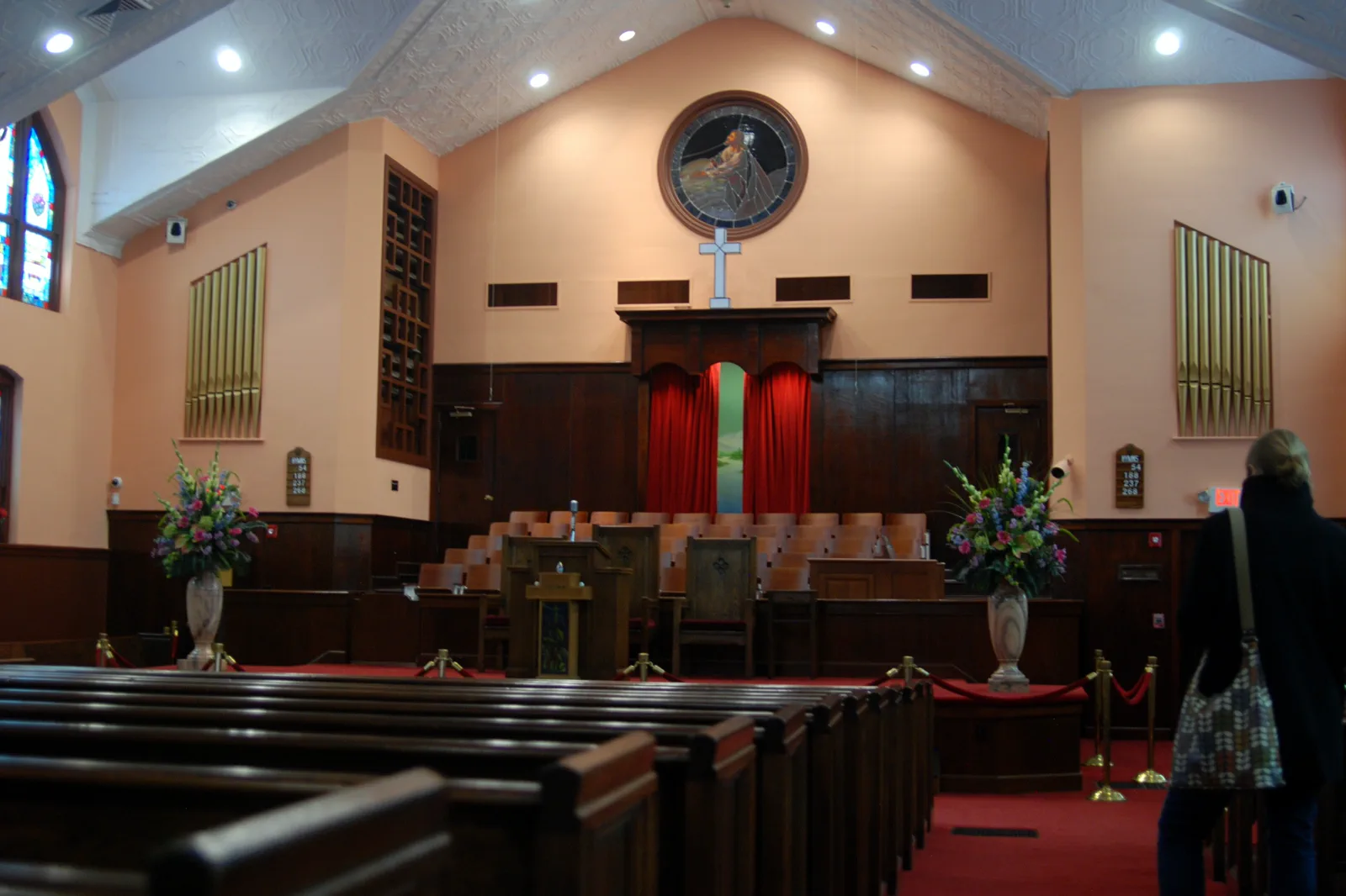
Martin Luther King, Jr. Historic District
The historic district is a place of living worship and civic memory. Give its interpretation time and distinguish public visitor areas from active church services and spaces with controlled access.
Open guide →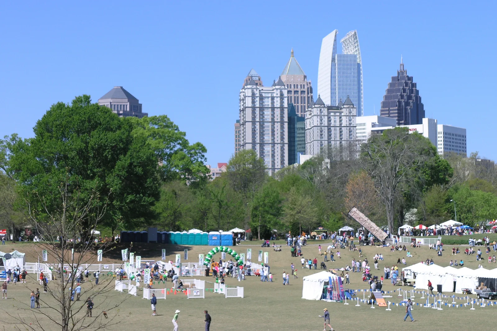
Midtown Museums & Piedmont Park
Midtown combines art institutions, gardens and parkland in a manageable city day. Select one major collection first, then use the park as a flexible outdoor break instead of trying to enter every attraction.
Open guide →References, review and image credits
Source information checked on 11 September 2026. Route order, comparisons and suggested pacing are TripDistill editorial judgments; they are not official operator itineraries.
- Atlanta Beltline: Eastside Trail and nearby places
- Atlanta Beltline: current access map
- MARTA: stations, maps and current service
- Atlanta Beltline: visitor information and trail use
- Martin Luther King, Jr. Historic District — olekinderhook, CC BY 3.0. Resized, display-cropped and converted to WebP; no other material edits.
- Midtown Museums & Piedmont Park — Daniel Mayer, CC BY-SA 3.0. Resized, display-cropped and converted to WebP; no other material edits.
- Atlanta BeltLine & Neighborhoods — John Phelan, CC BY 4.0. Resized, display-cropped and converted to WebP; no other material edits.
Editorial review: 11 September 2026. Check current official information before travel.